Sunday, December 14, 2025

Make New Friends...

Today I chose a hike closer to MomMom, in hopes that she could join us. Alas, she was having work done at her house and couldn't come with us. Saddler's Woods is about 4 miles from her, so we stopped in there before and after.

At the Trail Head

The history of this place is pretty interesting (see info on the link), including a tree that may have been part of the Underground Railroad. We entered the trail on Hope Trail, and at the T intersection made a right to go toward the Wet Meadow area. A few minutes later, Brigid takes the Road Less Travelled:


See that purple triangle shape up the trail to the right? We followed her up that path, which spurred off to a steep hill. It's hard to see the degree of the slope in the picture, but I think it's probably at least 40*:


After a few moments of "I'm King of the Mooouuunntain!" and "I can see MomMom's HOUSE from here!!" we reversed course and went back to that T intersection. A group of 3 women with some young girls and babies were coming into the same area. They asked if we were the Girl Scouts, because they had seen the magnet on our van. As it turns out, the two older girls were Girl Scouts too! Coincidentally, I happened to be wearing my Rock the Mall t-shirt. Their girls had just been to the B.I.G. Celebration. And the mama of the Girl Scouts also has a family hiking blog! So, what do a group of Girl Scouts do when they run into other Girl Scouts they haven't met??

"Make new friends" of course!

We explored the area with them for a good while, happy to have "veterans" along to point out lots of cool things, like this tree growing like a trident:


Two of the ladies with sleepy wee little ones bid us goodbye, and the rest of our new friends stopped to eat lunch for a bit. We were planning on lunching with MomMom, so back into the woods we went, this time from the Doug Hefty trail (note: Read about him on the Saddler's Woods website, neat story!). The stream was calling them, and tried to claim someone's sneakers:


The rest of the time we just meandered around, enjoying the beautiful weather.


Emancipation Beech, a 300 year old tree
(read more about it on the website)

Overall, a nice day out, especially with the surprise of Making New Friends....


Saturday, August 31, 2013

Ferns and Reeds, Skinks and Snakes

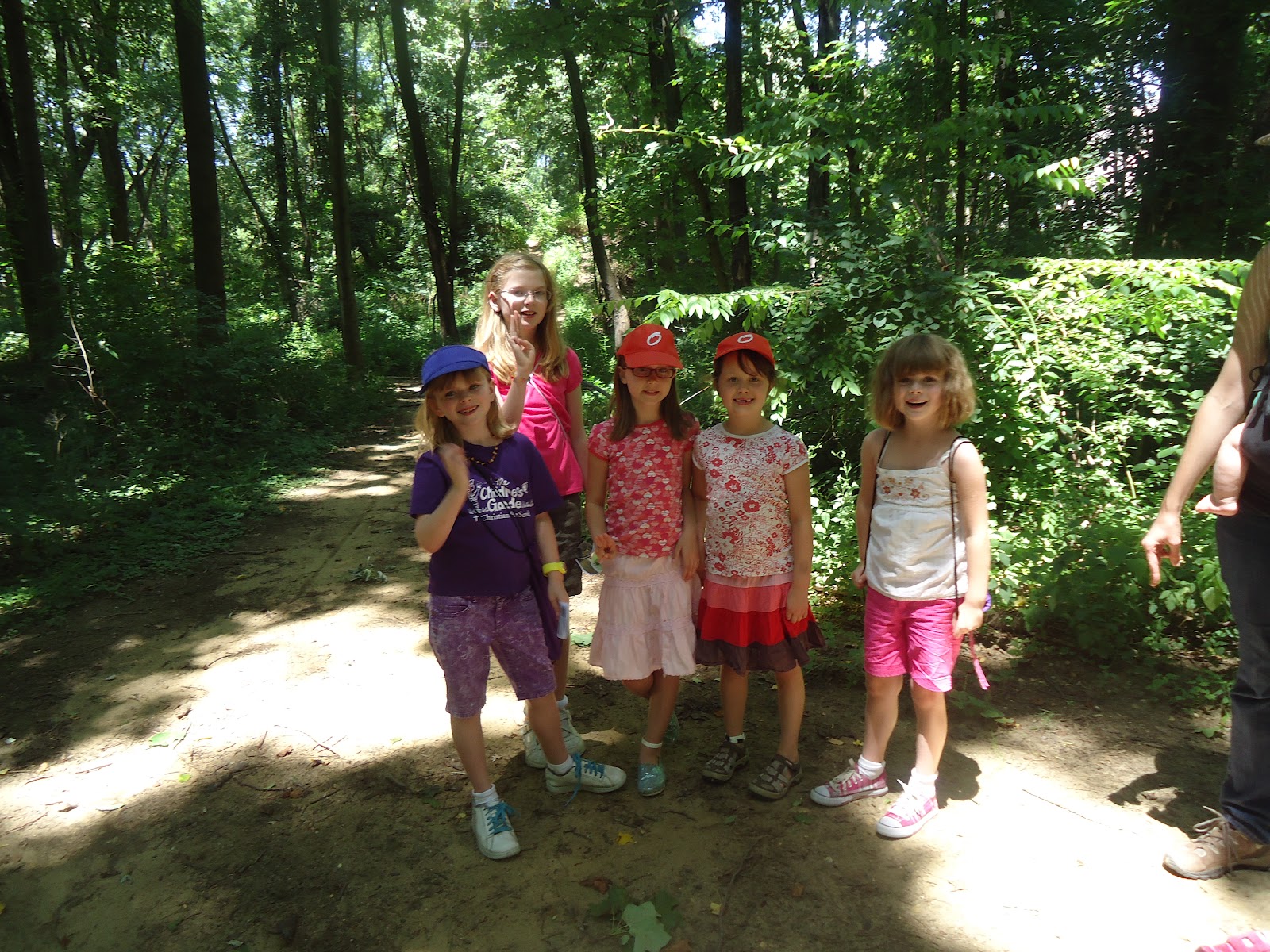
After a really, really, really long hiatus with me recovering from my back issues, we FINALLY hit the trail again today!!! <cue trumpet fanfare> Because I was unsure how I would make out hiking (I have ongoing issues with numbness in my feet as well as hip pain), I chose a site with multiple, interlinked short trails. If I was doing fine we could extend the hike, but if I was struggling we could shorten things up. If it was a complete disaster after only a short stretch, there were ruins and a nature center we could default to. From the info on the website, Estell Manor Park seemed like a really good choice.

And it was!

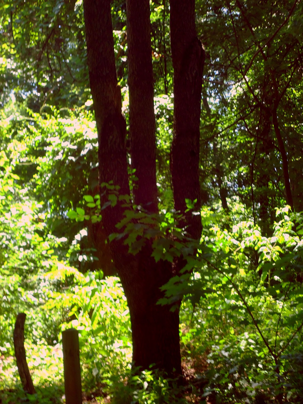
We parked in the lot next to the Nature Center (the main entrance), and followed Gunpowder Trail to where it intersected the Swamp Trail. Most of the Swamp Trail is a boardwalk, so it is easy to follow.


And unlike another boardwalk trail 
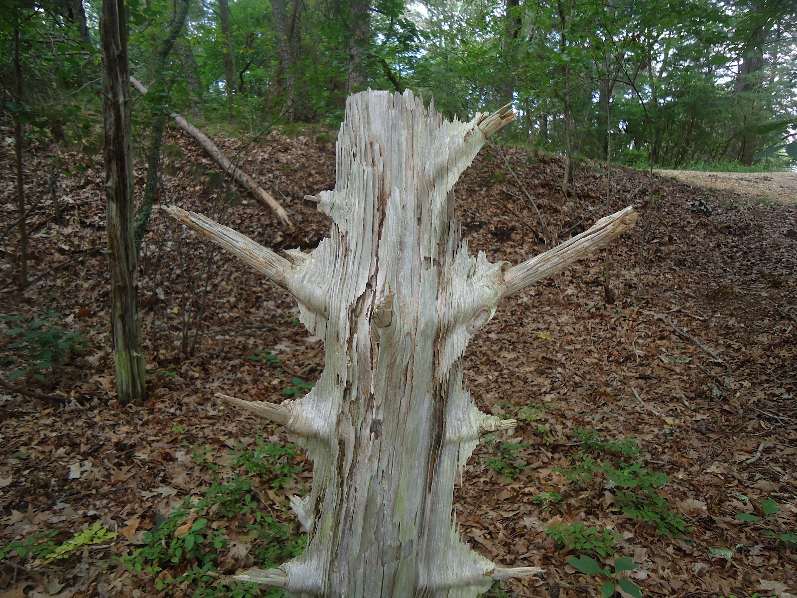
which shall remain nameless [grrr], this one was very well constructed, signed, and maintained. There was obvious recent trail maintenance done after the summer storms:

These signplates are on the borders of the boardwalk at each intersection, and at certain points along the way as mile markers, e.g. "Nature Center 1.5mi -->":


 My only complaint would be something that confused the girls: the blaze colors on the trails were different than the ones on the map. Part of my goals in this little adventure of ours is teaching them how to navigate, and they have gotten more attuned to paying attention to signposts, blazes, and other trail markings. The colors on the trails were consistent all along the way, but if you were using a handheld map to try to find your way it could be confusing initially. Speaking of maps, here's the very detailed trail map.


It's available at this link. There is another map, with approximate walking times (assuming a 3MPH pace). I found this really useful to help us choose from the various segments. We typically keep a 2.5MPH pace -- hence the blog's name LOL -- so I just adjusted those estimates up a bit. And of course, when you need to stop every 100ft or so to examine "the most amazing thing EVER!!!!", it affects that pace time too...


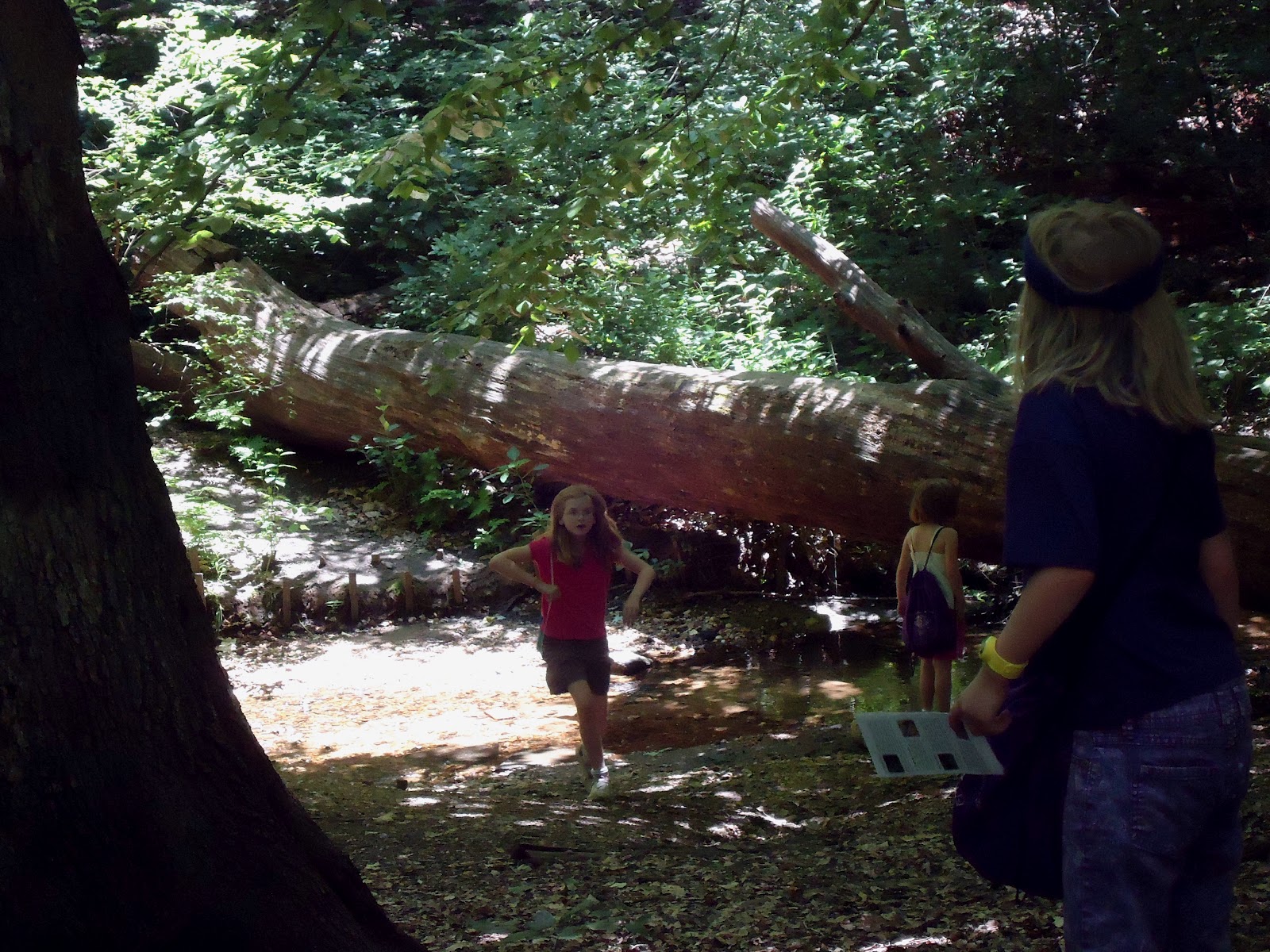
Speaking of which, we did see some really neat "flora and fauna" as the middle girl was saying. Wild blueberry bushes and pitch pines line the trails, and we had an opportunity for a science lesson. I remarked to the girls that we were suddenly seeing many more ferns and reeds, and hypothesized that we were coming into a wetter area. Sure enough, the land under the boards became boggy then yielded to a small creek. As the land became drier, the number of ferns and reeds diminished. When we saw this area, they wondered what made the water orange colored, which led to a brief lesson in geochemistry:


We wondered what this bush was (I suggest a variant of blueberry, but was shot down by my fellow scientists who pointed out the leaves were "totally different, Mom!":

(Please excuse the focus being off there, I'm not really any good with a camera. It's sad, actually...)

As far as critters, er, I mean "fauna" were concerned, we had lots of company from them! Birds sang to us the entire time. We wondered who lived in this little space:

Hard to see, but it's some kind of large burrow
It seemed there was an entire tribe of five-lined skinks living along the Swamp Trail, some of whom we were quick enough, and stealthy enough, to grab a photo of.

Look carefully, just to the right of the reddish leaves for the little dude


While I was pretty sure those little cuties were skinks, I wasn't completely certain. When we got home I Google'd "skinks new jersey" and confirmed they were indeed skinks. Most of the time when you think of skinks (because honestly, who *doesn't* think about them??) you get an image of a rather corpulent lizard, not these svelte, azure-tailed ones. But, this better photo is exactly what we saw:

Image stolen borrowed from this website 
NOTE: If my sister reads this, DON'T CLICK ON THAT LINK! Snakes, snakes, and more snakes!

After seeing what coolness is waiting to be discovered if you look carefully enough, the youngest girl spied with her little eye this green snake wrapped around a branch. I have to say, I was really impressed with her observational skills because he was doing a really good job making himself look like a vine!

Okay, I didn't warn my sister about this snake, but he's really not very scary looking, is he?
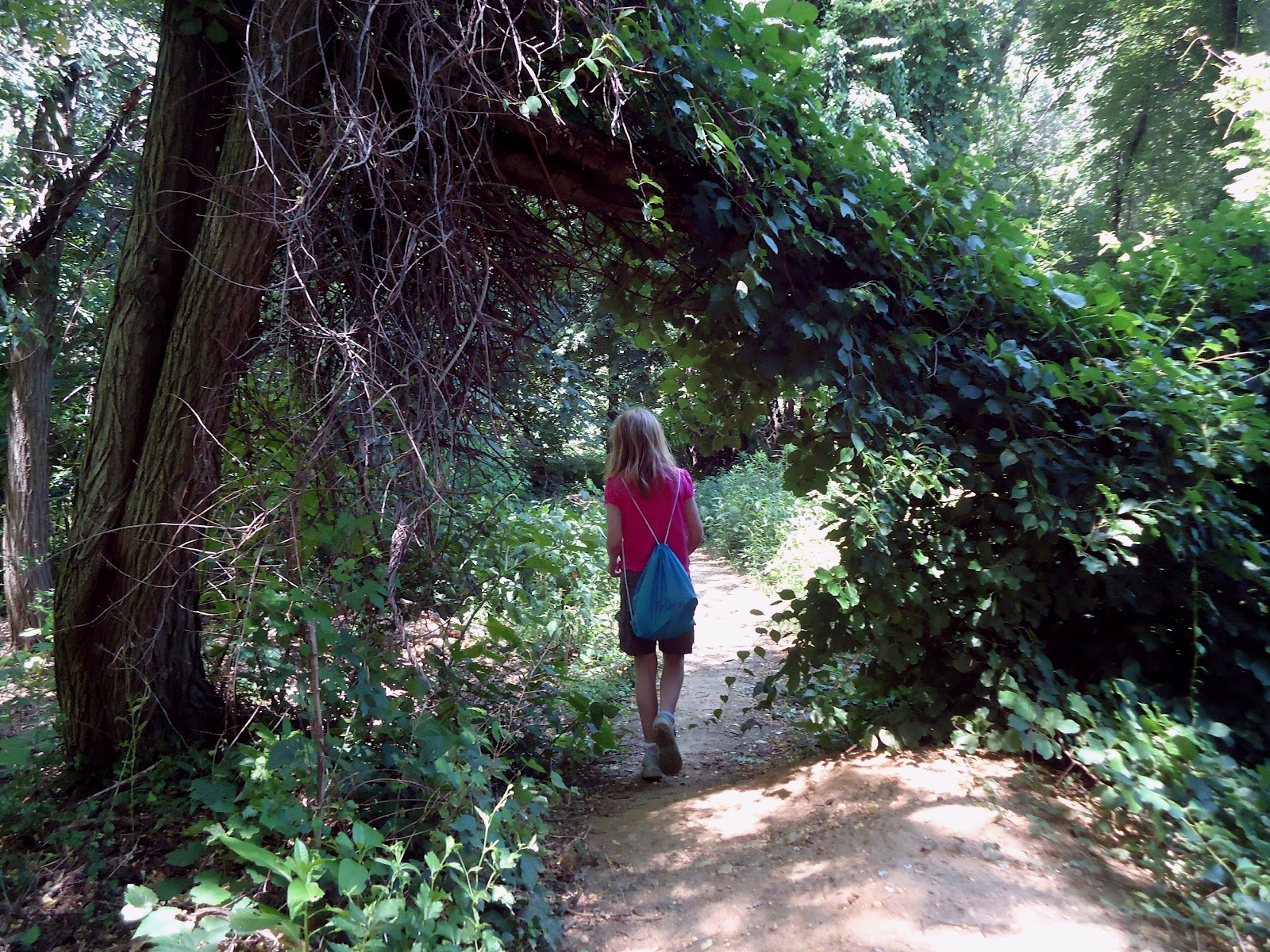
My personal favorite "Mutual of Omaha Wild Kingdom" moment came when we were on one of the straightaways, like the one below. I caught a flash of movement out of the corner of my eye when I was looking off to something on the side, and when I turned to look ahead on the trail I was blessed with a view of some type of raptor about 50ft ahead, flying low on the trail -- like probably only 5ft off the ground. Where we live we see raptors in our back yard and beyond all.the.time, but never that low. I yelled to the girls and they got a glimpse of it too. We were all amazed, and in some way I felt humbled to share the space with that amazing creature.


Just as their energy and enthusiasm were starting to wane, and the whining began, we came upon some ruins from the Bethlehem Loading Company, a munitions company from the early 1900's. This sign the little one was reading didn't give any clue to what might be behind the crumbling walls, so after walking all the way around the perimeter to see if there were any low breaks in the wall, my crew learned the fine art of interlocking-your-fingers-and-letting-your-buddy-stand-in-your-hands. To their delight, the walls were apparently watertight enough to have created an artificial pond, complete with lily pads. Of course, I was not able to see it myself (the walls were about 6-12in above my head and I wasn't ready to risk reinjuring myself climbing or using the buddy hoist), so they may have been having a group hallucination, but I'm willing to believe them... this time...

The walls of the building are hidden behind all that foliage. I promise, it's there!
That unexpected find gave them the little burst they needed to finish off the rest of the hike in good spirits. We looped back to the Nature Center, which has a lovely butterfly garden in front of it. The middle one loves the contemplative nature of watching butterflies!

Unlike my two older girls, I never had Julie Bruce's monarch butterfly science unit,
but I *think* that's a monarch and not a lookalike one.

So, all in all a great hike! If you followed the link to the trail map, our route today was Gunpowder Trail to Swamp Trail, left at the Y intersection south to the observation area and onto Frog Pond Road, which dead ended at North End Trail. Left onto that and back to the Nature Center parking lot. They all agree they'd love to return and explore the other trails and areas we didn't get to today, and the oldest is wondering if she can talk her Girl Scout troop into coming there to camp.

Speaking of Girl Scouts, after we finished I was talking to my mom on the phone and when I told her about the skinks, she asked how I knew as much as I do (and believe me, it's not THAT much) about the wildlife and plants in the area. I told her some of it was the degree in Biology I have (GO HAWKS!), but more than that it was from my years in Girl Scouts. There was a naturalist who worked in our council frequently, and that man knew the Pine Barrens and all its creatures and plants like the back of his hand. When he taught you something while you were out hiking, not only did you remember it, you wanted to learn more. So, if you happen to read obscure little blogs written by a mama with three kids who likes to walk around in the woods, this blog post is dedicated to you, Dave Orleans! Thanks for being a GS volunteer!

ETA: In case anyone was wondering, my back and hip were doing okay during and after the hike. At one or two points I needed to do some extensions to reduce some pins-and-needles I was getting in my legs, but no worse than a standard day at work. Yippee!


Saturday, June 8, 2013

Catching Up...AT Stuff!!

At the end of March I attended a speaking event at REI in Marlton. The speakers were Paul and Asher Molyneaux, a father and son Appalachian Trail thru hiking team. I bought their book which they graciously signed, and got a few moments to speak with them. Here's a link to their FB page:

 https://www.facebook.com/pages/The-Barbarian-Utopia/361206760179

Check it out!

Sidelined, dangnabit!!!

No sooner do I get my happy little feet (honestly, I do have little feet) back out in nature than I get sidelined with a back injury....

*** INSERT WAILING AND GNASHING OF TEETH HERE ***

Until I am ok to hike again I'll have to placate myself with contemplating future hikes. I'm open to suggestions for new places, hint hint... The Daddy and I were also talking about shifting our exploration focus this summer to central and northern New Jersey, so ideas for those areas are welcome as well.

Lace Up Those Shoes Kiddos!

DISCLAIMER: For some reason I'm having trouble with getting Blogger to import my photos, so excuse the place holders please and check back later for the pics =).

My hiking companions are still getting used to the idea of hiking when it's cold (don't worry, they'll come around), so it was only recently that we had warm enough weather for them to agree to hit the trail again. Since it had been raining so much the previous week, most of my go-to spots would have been muddy, swampy messes. I considered a different option: Maple Ridge. It straddles both Mantua and Deptford townships, and in it's previous lives had been a golf course. A friend who lives in Wenonah has walked the paths there and seemed to enjoy it, so I thought we'd give it a shot, figuring at least some of the paved paths would be passable.

Since the area is still not officially a preserve, there really aren't any "trail maps", and there are no longer golf course markings. If you like to meander, and you aren't nervous not knowing exactly where you are, you'll have some fun. I would probably have felt a bit more oriented if I had ever even once in my life been on a golf course (other than a Putt Putt), but c'est la vie!

There was no sign that we could find, but there is an obvious old parking area off Glassboro Road (use 1705 Glassboro Road if you're having trouble finding it). The day we were there there was a small sign for a greenhouse.

So, we park and head off on the paved path, which was bordered by a well-developed meadow:

*** INSERT PIC OF BRIGID ON PATH, MEADOW ***

Since we had not been here before and didn't know the original layout of the course, we decided to try to stick with larger paths when we reached an intersection, or failing that, one with a very distinctive visual memory trigger, like this tree:

*** INSERT PIC OF HIGHLY BRANCHED TREE ***

Some of the areas seem more remote, like the small bridge over this creek

*** INSERT CREEK PIC ***

and there is a large variety of flora and fauna to discover, including an unexpected patch of bearded iris (one of The Mama's favorite flowers!)

*** FLORA, IRIS ***

We only encountered a few others on our walk: a solitary woman from the parking lot, some older teens fishing, and a trio of very sweet Golden Retrievers who brought their gentleman out with them, although he didn't go in the water to swim like they did.

*** PUPPY PIC ***

We rounded one corner and saw a lovely overlook, and another bend brought us to this collapsed structure which we quickly decided was now a hobbit home.

*** VISTA, HOBBIT ***

I'd really like to walk here again if there was even some rudimentary sort of map, and when the girls said they'd like to come back I suggested we bring a compass, pencil and paper. I'm trying to help them learn various ways of trail navigating, and this would be yet another way.

You know, there's a Junior Girl Scout badge for Geocaching which obviously involves using GPS.... maybe I can convince our troop to try it? Maybe I can call on someone with more experience and equipment, like "Uncle Aaron", someone from Council, or those friendly folks at REI???

Saturday, August 18, 2012

I'm Back in the Saddle Again!

Well, metaphorically, anyway. After a hiatus for what turned out to be more than just a simple bacterial conjunctivitis (see this entry), a hiatus that included CONTACT ISOLATION for Pete's sake, we got back out on the trail today. And it felt sooooo good! We had beautiful weather, too.


We debated Wenonah Trails, Parvin State Park, and others. After discovering Parvin is closed because of damage from the recent storms I asked the future trail runner to look at the info I had on Maurice River Bluffs Preserve in Cumberland County. She agreed with me that this looked interesting, and we told the other two of our choice. My only complaint is that the map is not very detailed, but I hoped maybe there would be an updated one at the trail head. There was not, but there was volunteer steward there who knew the trails, including the new yellow they speak of on the link above (which is not the yellow you see in the photo above -- that's the boundaries of the preserve). It was easily accessed off the junction of the red and white trails.


When you enter the preserve, you come almost immediately to the blue trail, and we turned left onto it, headed toward the red trail. If you've read other entries, you know we pinkpuffyheart love well blazed trails, and this fit the bill. Even the little one could find and follow their blazes. At most of the trail junctions we came to there were also directional posts.

So, when they named this "Maurice River Bluffs" I wasn't sure what to think of that, but rest assured, there are enough steep slopes, small gorges, and pretty much the perfect setting for re-enacting The Hunger Games for anyone. Unfortunately, most of the photos I tried to take don't realistically convey the depth. I suppose one of these days I should watch the CD that came with my digicam, or maybe take a class. Ooooh, I think REI offers one.....

So we aren't on the red trail long before we're on a ridge:


Even the tree is holding on!


It turns out that lower area is where you end up next, after a switchback:


All kinds of fun stuff in this preserve! It had recently rained, so there was tons of funky fungi (say THAT 3X fast!). Some of the standard toadstool, bracket fungi, etc. but then there were neon yellow ones, coal black ones, and this little stand that reminded me of enoki mushrooms:

Don't tell my Irish ancestors, but it was my husband who pointed out this is a Faerie Ring

There were also some seriously strange, Area 51-looking trees like these:


Any arborists out there who can tell me what the deal is with these spiky trees???


There were also a few large trees down from the storms last month, like at Parvin. We were able to get around this monster, but someone on a mountain bike would not have been able to:

If you squint you can see a bit of pink and blue in the center there...
This break was approx. 25ft up
Both the white and yellow trails come up along the river, and when we reached the water the girls wanted to dip their tootsies in. I thought it would make a nice break before heading up the yellow trail, so I let them have a bit of time once we moved up away from the folks with the jet skis.


Once they'd had their fill of squishing sand between their toes and trying to identify every.living.organism they could see, we moved on to the yellow trail. I had read the trail had "a 35-foot long bridge, steps and rails throughout the steeper parts" which sounded pretty darned cool to me, so we headed off. We quickly came upon a steep incline and the girls begged to climb up. I stayed down on the trail so I could observe all three at once.


I was *perfectly* positioned, therefore, to see the middle daughter build up more momentum coming down than she could handle, and whoopsie daisy! tumble down head over heels. She was crying right away, in that high pitched "I'm wounded!" way, but she was also flailing all 4 limbs immediately so I held off sending up a flare. She is bruised and has a nasty scratch on her shoulder blade, but she's okay. Once she was calm I took the opportunity to educate all three of them on how to better handle a slide on a trail, mainly by choosing their immediate path wisely, and to get and stay low. The mishap really made her want to head back, so we will save the yellow trail for another day.

On the hike back in, I turned at one point and saw this, and couldn't resist snapping a picture:


And she also spied this little fellow waiting to say goodbye:


If you're ever in the area, you should really check this area out! Look for this sign on Silver Run Road =)...


Tuesday, July 31, 2012

A Different Smithville

Typically, when our family talks about going to Smithville, we mean Smithville Village in Atlantic County. There are quaint little "shoppes", a small lake, a train you can ride, and a beautiful old fashioned carousel (the girls' favorite). When researching hiking trails in the area, I came across a different Smithville -- Historic Smithville Park in Burlington County. It seemed interesting from the info I'd read, but I'd been fooled before and am still licking my wounds (so to speak) from that! A coworker had said she has ridden her bike on some of the trails there, so I put it in my "maybe" file.

I've been in essentially contact isolation for over a week because of a rare, highly contagious form of conjunctivitis, and I'm going a little squirrelly. Since hiking is something I can still do without risking exposing anyone, it's not prohibited. The Oldest is in Girl Scout day camp this week at Inawendiwin in Tabernacle, and I wanted to do something with the Little Girls since, um, they weren't (next year, Littles!). I thought of Smithville Park, and decided to see if they had trail maps or brochures. We had not planned on hiking, but it worked out otherwise. As it turns out, I parked in the worst parking lot for where we ended up hiking LOL. We found the Mansion, and walked around in the grounds for a good long while, playing maze in the garden, admiring the architecture, and taming the lions:


The mansion has a lovely walkway dedicated to Women's History, right near this arbor:


The girls decided they wanted to hike the Red Trail, mainly because it has a Butterfly Garden. I did not point out to them that technically, it is the longest, because none of these trails are particularly long. If I'd had the map with me and knew we were going to choose that trail, I'd have parked in the Smith Woods lot, or better still the Municipal Lot at the corner of Smithville Rd. and Railroad Ave. It was a bit dicey walking the short bit from the Mansion down to the Red Trail head because there are no sidewalks on Smithville Rd. and the traffic moves swiftly.

The Red Trail starts out more like a bike path, with wide, flat trails:


with lots of curious things to see along the way, like this tree with bark that swirls like a barber's pole:

The path meanders alongside a creek for a while:

with benches at little scenic overlooks every couple hundred yards or so. When it turns south away from the creek the path is anything but linear, but is so well blazed that you have no trouble staying the course. There are some fun little bridges and steps along the way too:


until you come to the junction of the red and orange trails, where the playground, a picnic area, and the Butterfly Garden are:


See the Gazebo in the background?

The Red Trail cuts across the parking lot, through a not so interesting field, and back out to Smithville Road. We crossed over and picked up the Green T which was much more interesting right off the bat, with a slope that leads to the first of several bridges, all of which lead to the Floating Trail across Smithville Lake:


The north end of the Green Trail winds to the western part of the Red Trail, which we took past the canoe launch to Park Avenue, an internal road in the park. We had already seen part of the other end of Park Avenue when we came out behind the mansion and the girls spied a photo op in the gazebo:

That's Park Avenue to the left in this photo
Parking lot B is behind the historic buildings, and where our car was. If we weren't pressed for time to get back for an opthomologist appointment I would have loved to check out some of the old growth trees that are supposedly in the ravine off the Blue Trail. Next time, I suppose! And next time, I'll park in Lot E off River Street!